Fog in Willamette Valley
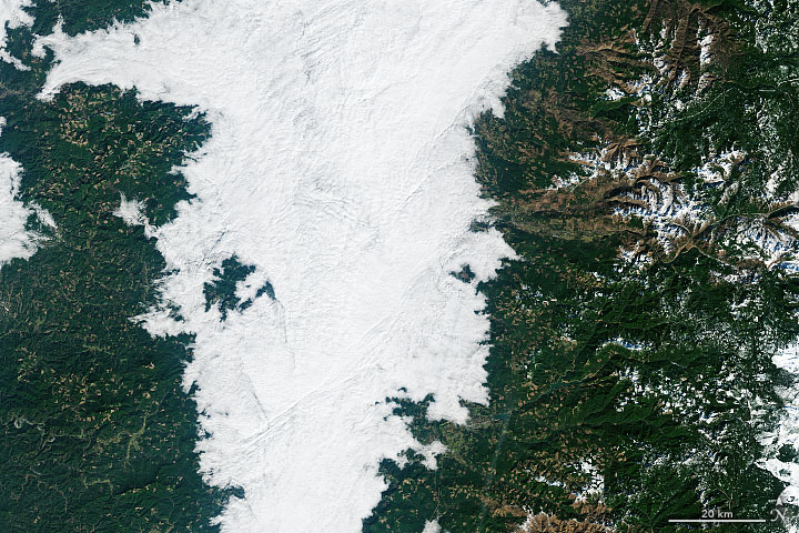
NASA Earth Observatory released this satellite image of Oregon’s Willamette Valley on Sunday (February 20, 2022). It shows a long, dense stretch of fog blanketing the valley: the result of a temperature inversion.
NASA satellites have viewed three extended periods of Willamette Valley fog this year. They happened on January 14-17, January 22-29, and February 8-12.
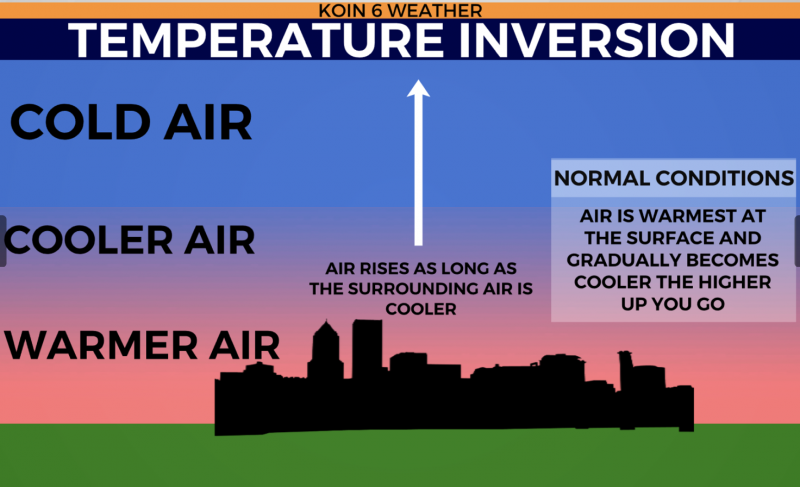
In a January 24, 2022, weather report, CBS-affiliated TV station KOIN-6, covering Oregon and southwest Washington, had a good explanation and visual about temperature inversions. Joseph Dames of KOIN said that during a temperature inversion:
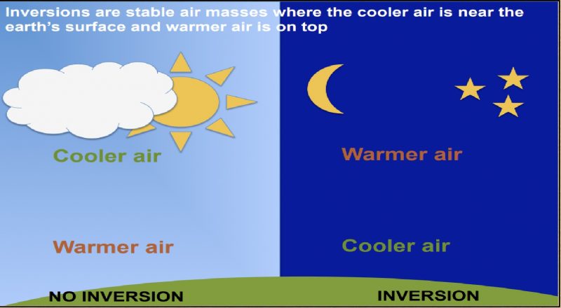
… the surface will be cooler, with a warm layer above. That warm layer prevents pollutants from escaping. This also keeps the temperatures colder at the surface, allowing for fog to form … Cold air sinks to the valley floor during the winter months, as if we are in a cold bath.
Want the forecast for Willamette Valley this week? Click here


Bottom line: Oregon has already seen at least three extended periods of valley fog this year as a result of temperature inversions. When this happens, temperatures are colder near the ground while the air above is warmed. The warm layer prevents pollutants from escaping, trapping fog and causing cold air to sink.
The post Winter fog in Willamette Valley, Oregon first appeared on EarthSky.
0 Commentaires